
What does it mean to be geo-literate?
Geo-literacy is a term that describes the ways in which a person views, understands, and interacts with the world. The geo-literate individual has an understanding of the dynamic physical and cultural forces that interact across the world. He or she has a spatial awareness of the world and is able to see and understand patterns, distributions, and interactions of the physical and human realms.
Being geo-literate equips a person to understand geo-political realities in order to make informed decisions about local, national, and world affairs. A geo-literate workforce will be able to compete successfully in the global marketplace. A perspective in geography offers a critically needed understanding of the relationships between human activity and the condition of the planet.
National Geographic Education has created two excellent videos that discuss GeoLiteracy and its significance. The first of these videos explains what the term "geo-literacy" actually means, while the second video elaborates on the critical need to develop geo-literate citizens in today's globalized society.
For more information please download our latest information sheet (PDF, 3 MB)
Implications of Geo-Literacy: How Geo-Literacy would change North Carolina
Geo-literacy action by people and individual citizens:
- People are better able to understand the impact of current events
- Students and adults can better understand enviornmental and cultural differences and their comments reflect an understanding of these issues
- Citizens get involved with and interact with others who are from different cultures
- Citizens ask politicians intelligent questions and demand intelligent decisions related to land use, resources, and education about place
- Citizens are better able to discuss the pros and cons of economic development with a clear view of future impacts on land use and resources
- The debate about jobs also focuses on "sustainable" employment as it relates to place and geography
Geo-literacy by educators:
- Educators can better interpret media images (about places, cultures, and land use).
- Educators have greater opportunities for travel, opening them to further learning and experience about geographic issues; "exploration" is modeled by educators.
- Educators can understand and communicate the concept of place, make differentitations and connections between places, integrate disciplines, and make better sense of the world through these connections.
- Teachers model cultural connections
- Teachers take an active role in acknowledging and building geography and geo-literacy into K-12 education.
Geo-literacy actions taken by governments:
- Government decisions clearly reflect an understanding of the impact of physical environments, culture, and place.
- Decisions reflect the efficient use of resources. Decisions are made at the appropriate scale (i.e., different factors are relevant globally and locally).
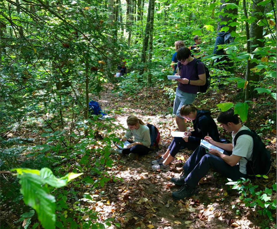
Appalachian State University students in biolab