
Facilities & Equipment

Facilities & Equipment
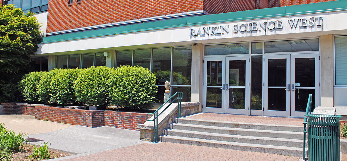
Rankin Science West

The Department of Geography & Planning occupies the second and third floors of a modern science facility and contains two computer laboratories for work in computer-aided cartography, image processing, and Geographic Information Systems (GIS). The department presently houses maps, atlases, journals, and periodicals in our Reading Room (RSW 327).

Appalachian Tree Ring Lab

Dendrochronology has developed into a leading method for recording and monitoring climate change, natural ecological processes, and human-caused changes in the environment. The annual nature of tree growth permits trees to serve as a bio-recorder for the duration of their lifetime. By studying these annual growth rings, we can determine how forests have changed over time and relate growth with ecological and climatic factors. We can also use those annual growth rings to determine felling (inferred construction) dates of prehistoric and historic wooden artifacts and buildings.

Global Change Lab

The Global Environmental Change Lab enables students to explore the inter-relationships among the Earth’s complex environmental systems and the methodologies used by a diverse group of scientists (e.g., atmospheric chemists, biologists, climatologists, dendroecologists, geographers, paleoclimatologists, snow scientists, etc.).

GIS Labs & Drives

The Geographic Information Science (GIScience) Laboratory is located in the Department of Geography & Planning. It is managed by a full-time system administrator. The department also maintains a spatial database which provides data for educational and research purposes.

Technology FAQs

Several frequently asked questions about software and equipment.