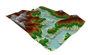
 Dr. Colby and graduate student Greg Dobson have been applying the linkage of GIS and hydraulic models for flood modeling in the coastal plains and mountains of North Carolina. In particular, they are investigating issues of scale in regards to the representation of terrain models derived from LIDAR data. In addition Greg's thesis research involves comparing results obtained from a public domain hydraulic model HEC-RAS with a proprietary model developed by a leading water resource consulting firm in a local mountain watershed.
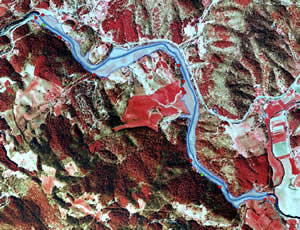